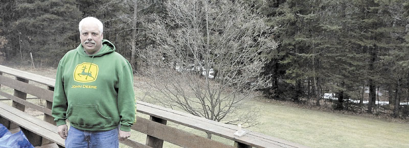
Before Rocky Gravel of Winslow could build a free-standing garage next to the house where he has lived since 1991, he had to pay $2,000 for survey work to document the property was not in a flood zone.
When Gravel built his house, which is 26 feet above a quiet brook that goes dry in the summer, it was not identified as in a flood plain. But a new federal flood plain map put in place last year for Kennebec County changed that, at least on the surface, said Andrew Dunbar, the surveyor who did the job.
The new maps, which come out periodically for different areas, don’t much update the flood plain information. For the most part, they take the old flood plain information and superimpose satellite imagery on top of the old maps.
That satellite imagery did a better job picking out Gravel’s property as supposedly being inside the flood plain. However, it didn’t take elevation into account.
“Just looking at his property on the face of the earth you would be surprised to know he was pictured in the flood zone,” said Dunbar, of Thayer Engineering Co. in Farmingdale.
But proving the case to the Federal Emergency Management Agency required extensive elevation data on the brook and Gravel’s house. If Gravel didn’t pay for the survey work, he would have been required to buy flood insurance costing about $2,000 annually.
Being reimbursed for the money he spent on the survey work is only fair, said Gravel, a captain in the Winslow Fire Department.
The federal government is “putting this burden on the land owner,” Gravel said. “It is the least they could do.”
Send questions/comments to the editors.


