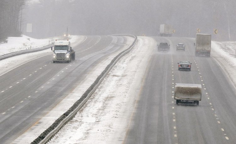
As one snowstorm began to wind down Tuesday night, forecasters were warning travelers to prepare for another one Thursday that could dump up to 8 more inches of snow on Portland.
Andy Pohl, a meteorologist with the National Weather Service in Gray, said the next snowstorm, a nor’easter, should start around 7 a.m. Thursday.
The storm will bring 5 to 8 inches of snow from the foothills to the coast, with the higher amounts along the coast. Snowfall will continue throughout the day Thursday before ending in late afternoon.
“The storm will definitely have an impact,” Pohl said.
On Tuesday, drivers found slippery travel conditions as snow that began in the early morning hours continued throughout the day.
There were long delays on sections of the Maine Turnpike between Falmouth and Saco as emergency crews responded to multiple crashes. One collision involved a tractor-trailer and a sedan between the Falmouth and Portland exits. In Saco, a car crashed into the median and another slid off the road and landed on its side.
By 9 p.m. most communities in Cumberland and York counties had between 3 and 5 inches of new snow. Pohl said just over 3 inches of snow fell at the Portland International Jetport.
Bridgton and Phippsburg got 4.9 inches and 5 inches of snow, respectively. Kennebunk reported 4 inches and Hollis 3.3 inches.
The temperature in Portland dropped to 17 degrees by 9 p.m. Tuesday. The National Weather Service predicted that the precipitation would turn to a wintry mix of rain, snow, freezing rain and sleet after 2 a.m. Wednesday.
The city of Portland declared a citywide parking ban starting at 10 p.m. Tuesday. Topsham declared a ban from noon Tuesday through 10 a.m. Wednesday. Brunswick issued a parking ban starting at 12:01 a.m. Wednesday and ending at 7 a.m.
The storm was forecast to end by 7 a.m. Wednesday, and the temperature in Portland on Wednesday is expected to reach a high of 50 degrees.
Send questions/comments to the editors.


