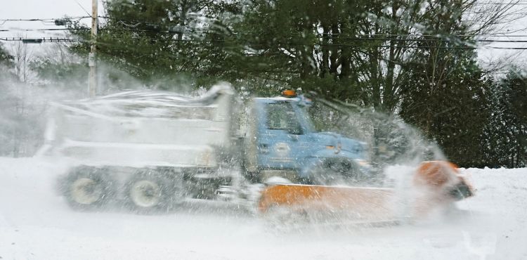
Another major storm was hitting Maine on Wednesday even as communities struggled to dig out from a snowstorm Monday that produced blizzard-like conditions and buried some towns under more than 3 feet of snow.
The National Weather Service office in Gray placed all of southern and coastal Maine under a winter storm watch until Thursday morning.
The Maine Turnpike Authority tweeted around 4 p.m. that it had received multiple calls reporting cars off the road and some reports of standing water on the roadway. There were multiple delays. The authority reduced the speed limit on the turnpike to 45 mph from the New Hampshire state line to Augusta.
Meteorologist Eric Schwibs said light snow had the potential to mix with rain along the coast before transitioning back to snow in the afternoon and evening. The third major storm to hit Maine in a week is expected to end early Thursday.
Schwibs said the heaviest snow will fall during the afternoon and evening hours. He warned that the Wednesday evening commute in Portland could be treacherous because of snow-covered roadways.
He said an offshore surface trough will extend to the west and inland from the Gulf of Maine. Exactly where the southwestern border of that low-pressure system will form remained uncertain Tuesday night.
“You will know that you are in that trough because it’s going to snow like hell,” Schwibs said.
Sanford is likely to see 13 to 14 inches of snow, and Portsmouth, New Hampshire, could get 3 to 4. Areas inland and farther north will see more snow. Windham and the Sebago Lake region could get 15 to 18 inches and Lewiston could see 18 inches.
Portland, which could get 10 to 12 inches of snow from Wednesday into Thursday morning, was still digging out from Monday’s storm. Sixteen inches of snow fell at the Portland International Jetport. With snowbanks and cars parked on both sides, Free Street in downtown Portland was difficult to drive down.
Schwibs said that if rain mixes with snow in Portland on Wednesday, the snow could become wet and heavy, a combination that could force tree limbs onto power lines and cause outages.
The prediction of 10 to 12 inches for Portland puts the city on track for one of its snowiest Februarys on record.
The weather service said Portland had received 34.5 inches of snow through Monday, putting this month just an inch behind the 35.6 inches recorded in February 1971, the 10th snowiest February, according to records dating to 1881.
In February 1967 – the fifth snowiest February on record – Portland recorded 45.8 inches of snow. The all-time record of 61.2 inches was set in February 1969.
“This (accumulation) will add to the running total that has seen many areas receive nearly 3 feet of snow in the last week,” the weather service said in its winter storm watch. “The weight of the recent snowfall may become a hazard for some rooftops.”
Many Mainers were still dealing with snow from Monday’s storm as they shoveled or used snowblowers to clear driveways and sidewalks.
Several towns got nearly 2 feet or more of snow, including Scarborough with 23 inches, Kennebunkport 24 inches, Winthrop 26 inches, Hartford 26 inches, Sherman 32.5 inches, Kenduskeag 40 inches and Jonesboro 36 inches.
“Everyone is going to get snow (Wednesday),” Schwibs said. “The only way not to see snow is to head south for a vacation.”
Dennis Hoey can be contacted at 791-6365 or at:
dhoey@pressherald.com
Send questions/comments to the editors.


