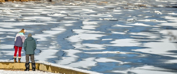
AUGUSTA — With frigid temperatures predicted for the first part of the week, weather forecasters say the conditions are good for ice formation on central Maine lakes and rivers.
But with ice formation comes an elevated risk for ice dams, and it’s not clear that could happen this week.
Hunter Tubbs, meteorologist with the National Weather Service in Gray, said the overnight low Monday was expected to be minus 3 degrees and Tuesday’s forecast high will be 4 degrees.
“The last time that the high temperature was 4 degrees or less in Augusta was Jan. 6, 2018,” Tubbs said. “It’s been a decent amount of time since we have been this cold. It’s definitely going to be a shock to a lot of people.”
With an overnight low Tuesday expected to be minus 3 degrees, conditions are good for the rapid formation of ice on open water across the region.
Sometimes, Tubbs said, when ice forms quickly, water in rivers could back up. “Keep an eye on it, and if you see something that looks suspicious, don’t hesitate to give a call,” Tubbs said.
Sean Goodwin, Kennebec County’s emergency management director, said if people see ice dams forming they should also contact their local municipal officials.
Goodwin said ice jams form regularly in the Kennebec River, particularly in Hallowell and Farmingdale. As long as the river is able to continue flowing under the jam, there should be no cause for concern. But if the ice shifts and starts to block the flow, that can result in a large amount of water piling up in a small amount if time.
Areas of Augusta and Hallowell flooded in mid-January 2018, when a period of heavy rain followed a stretch of arctic weather in central Maine.
While the arctic system will move out of the region by Wednesday, the daytime highs will reach the mid-30s by Thursday with colder temperatures right behind it. Because of that and that the snow on the ground has an icy crust that will slow melting, little runoff and no flooding is expected, Tubbs said.
Send questions/comments to the editors.


