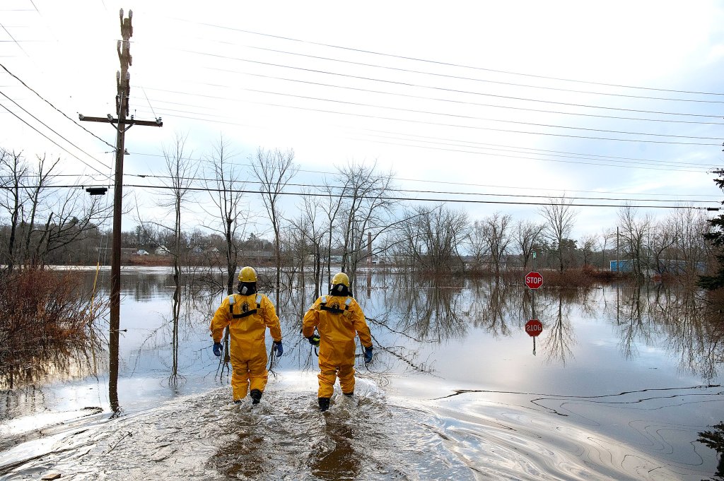
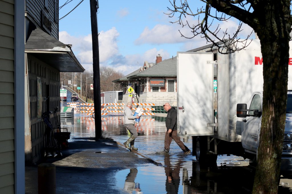
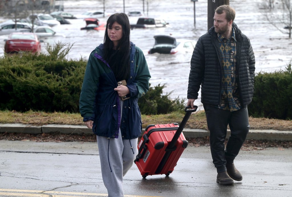
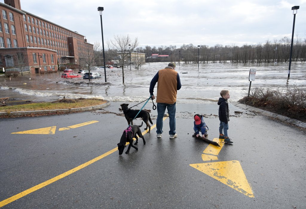
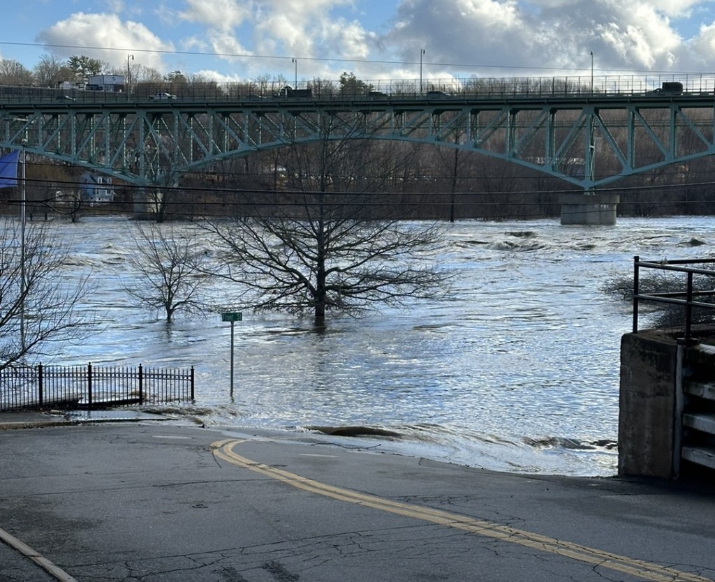
Two major rivers in Maine were expected to experience 100-year floods between late Tuesday night and early Wednesday morning, creating dangerous conditions for some communities that are still reeling from widespread power outages in the wake of Monday’s storm.
Late Tuesday afternoon, Gov. Janet Mills declared a state of civil emergency for every Maine county except York and Cumberland, a distinction that allows her to marshal state resources and apply for federal funding. She urged Mainers to stay safe as the risk of flooding intensifies.
“Flooding continues to be a serious risk in many areas of the state,” Mills said in a statement. “I cannot stress this enough – if you live in an area that is hard hit, please stay off the roads as much as possible and stay away from flooded areas, including flooded roadways.”
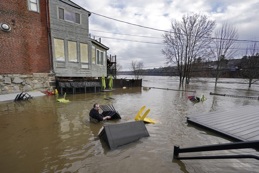
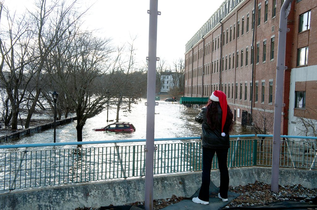
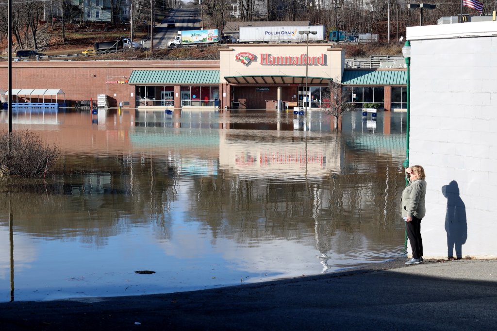
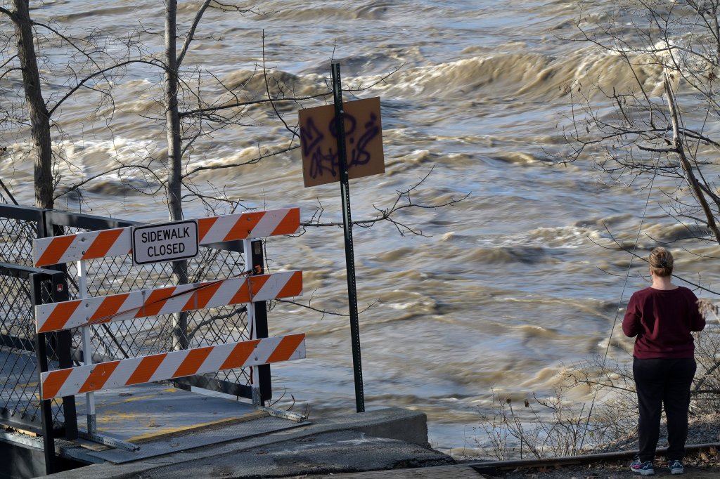
From midnight Tuesday to 7 a.m. Wednesday, the Androscoggin River at Auburn was expected to crest with the fourth highest water levels in recorded history, while the Kennebec River at Augusta was predicted to hit the third all time record at midnight. In light of these forecasts, officials in Lewiston and Auburn issued flood evacuations across parts of their cities. Neighborhoods in Waterville and Fairfield, and some other communities in western Maine, also were being evacuated.

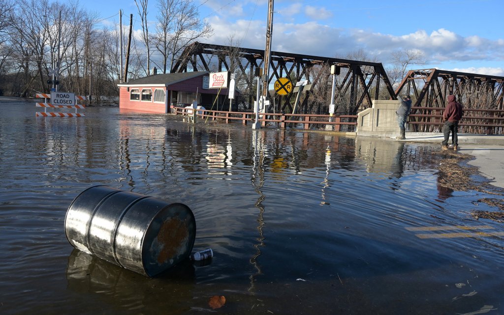
Floodwaters from the confluence of the Androscoggin and Swift rivers inundate downtown Mexico on Tuesday morning, closing off a section of Route 2 into Rumford. Bruce Farrin/Rumford Falls Times
“There’s a 1% chance every year of a flood of this magnitude happening, signifying how rare this is,” said Derek Schroeter, a meteorologist at the National Weather Service office in Gray. “The rivers are going to rise and stay high. They will stay above flood stage until Thursday afternoon.”
The increased flooding concerns come as nearly 285,000 customers of Maine’s two main utilities remained without power as of 9:30 p.m. Tuesday, long after heavy rain and blustery wind from Monday’s storm moved out. Utility officials are warning that many households may be waiting several days because of the destruction in some communities.
Monday’s storm brought nearly 6 inches of rain to some areas of the state. But while Tuesday’s weather was sunny and seasonably mild, the risk of flooding increased as melted snow and rainwater runoff flowed downstream from headwaters in Maine’s western mountains.
The flooding and storm damage have put 100 state roads out of commission, with more than half of the closures in Oxford, Franklin, Somerset and Kennebec counties.
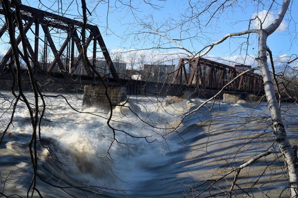
The Androscoggin River running through Auburn was expected to rise to 20.4 feet throughout the early hours Wednesday morning. That will be the fourth highest crest, comparable to Auburn’s 1987 flood and two places below the city’s all-time record, 27.57 feet in 1936. Flood warnings are issued when the Androscoggin River rises more than 13 feet.

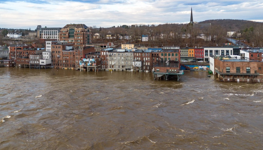
A swollen Kennebec River on Tuesday climbs up buildings on the back side of Water Street in Augusta. Waters rose to more than 30 feet and reached a flow of 144,000 cubic feet per second in parts of the river between Augusta and Waterville, according to the National Oceanic and Atmospheric Administration. The river is considered to be flooding once the depth reaches 17 feet and the water moves at 35,000 cubic feet per second. Courtesy of Dave Dostie
On the Kennebec River, the cresting won’t last as long, but it will be the third-highest crest in recorded history, with the water rising 26.8 feet by around midnight, the weather service said.
At this point, the National Weather Service is confident that these forecasts should hold out, thanks to decreasing flows in the mountainous headwaters and dryer weather through the rest of the week.
“Yesterday was a lot more tricky because of the ongoing rainfall,” Schroeter said. “The rainfall has moved out and so we’re not expecting anymore input into river systems than what’s already there.”
Meanwhile, wind gusts throughout inland and coastal Maine made it too dangerous for CMP’s line crews to begin restoration work Monday, according to company spokesperson Jon Breed. The number of outages decreased throughout the day Tuesday but more than 40% of CMP customers were still in the dark by late afternoon.
Utility workers responded to more than 1,500 reports from local emergency management agencies involving downed lines, trees blocking roads and people trapped in cars and homes, including two school buses with students inside. On three occasions Monday, CMP crews had “near misses” with falling trees. One contractor was sent to the hospital but has since been released, Breed said.
RESTORATIONS CONTINUE
As of 9:30 p.m. Tuesday, about 221,000 CMP customers were still without power, according to the company’s website. That’s down from a peak of roughly 400,000 late Monday. Versant Power, which serves northern and eastern Maine, reported roughly 64,000 customers affected by outages at 9:30 p.m.
“Since the storm began, Central Maine Power has received more than 1,500 calls from local emergency management agencies involving damaged trees, broken poles, washed out roads, and area flooding,” CMP said in a statement. “This has created incredibly challenging conditions for crews, who have been unable to access some areas that have been hardest hit, particularly in interior parts of Maine.”
CMP said late Tuesday that 1,175 line and tree crews are working to restore power, more than the number that worked during the historic Ice Storm of 1998. Maine is expected to see relatively little rain and wind for the rest of the week, which should allow line workers to continue restoring power uninterrupted.
The storm also caused two confirmed deaths on Monday.
Troy Olson, 40, was on the roof of his Windham home around noon trying to clear off part of a downed pine tree when a second piece of debris fell and killed him instantly, police said. And a Fairfield man, whose name has not yet been released, was killed when a fallen tree he was attempting to clear with a tractor struck him at around 3:30 p.m., police said.
Two more people were still missing Tuesday after the vehicle they were traveling in was swept away by flood waters in the town of Mexico late Monday afternoon.
Source: Central Maine Power
BRIDGES CLOSED
While the Androscoggin and Kennebec rivers will be cresting in Auburn and Augusta, respectively, the rivers weren’t expected to reach flood levels closer to the coast.
As a precautionary measure, however, the Maine Department of Transportation has closed nearly 36 bridges across the state, including the Frank J. Wood Bridge between Brunswick and Topsham at 11 a.m. Tuesday. The water levels in the Androscoggin River had risen to 6 feet below the bridge beams as of 11:40 a.m. Water levels appeared to recede by early Tuesday afternoon, but could rise back up as the runoff water heads downstream.
The department is currently five months into a construction project that will fully replace the bridge with a new structure that was delayed by years of legal battles. MDOT said there aren’t any current concerns that rising water levels or potential flooding could damage the existing bridge or its replacement.

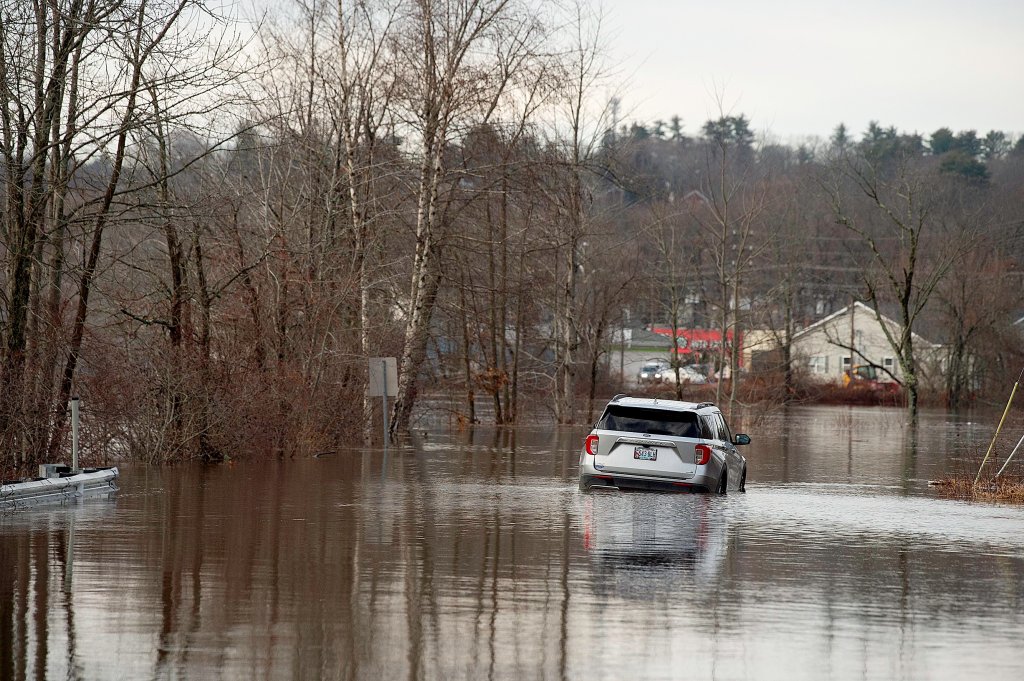
A pickup truck is stranded Tuesday on the Sunday River access road after Monday’s heavy rainstorm. Andree Kehn/Sun Journal
“We’re not worried about the bridge or significant damage to the project site,” spokesperson Paul Merrill said.
The bridge will be closed until Wednesday, with a detour route in place through Routes 1 and 196.
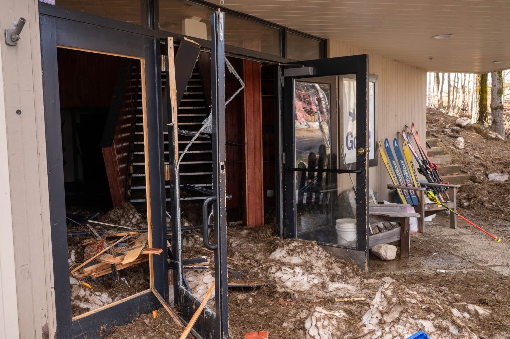
In Newry, an access road to the Grand Summit Hotel at Sunday River was completely washed out, cutting off access to the resort, and waters rose above the surface of the Sunday River Bridge making it impassable and threatening the structure. Sunday River announced on its website that it will remain closed on Tuesday as its staff assesses damage to roads and trails.
Similarly, roads to Maine’s other major ski resort, Sugarloaf, were impassible Tuesday.
Prior to her declaration of civil emergency, Mills ordered all state offices closed Tuesday, overriding her previous decision to shut offices until noon. She cited significant damage, including extensive power outages, road closures and flooding, and said she expects a “multiday recovery effort.”
MOST STATE OFFICES CLOSED
On Tuesday night, the governor’s office announced that state offices would open in Cumberland and York at 10:00 a.m. Wednesday but remain closed in Maine’s 14 other counties.
Allyson Hill, Oxford County’s emergency management director, said 25 to 40 residents were evacuated Monday night to local emergency shelters because of rising waters of the Androscoggin River. In addition, emergency management officials are moving people from assisted-living centers, she said.
Many first responders also were trapped by flooding and road damage, Hill said.
“At least the sun is out today and people can see where their road isn’t there,” she said.
Cumberland County’s storm damage is widespread across its more rural areas, said Aaron Milroy, deputy director of the Cumberland County Emergency Management Agency. Cumberland County has not experienced severe flooding like Kennebec and Androscoggin counties, Milroy said, adding that the Presumpscot River has not posed the same flooding risk as rivers in the neighboring counties.
“I suspect that most of the roads will be open and clear (soon), but the power restoration is going to take more time than getting the debris off the roadways,” Milroy said.
Following days of warmer weather, temperatures are expected to drop into the 20s across the state. Vanessa Corson with the Maine Emergency Management Agency said the state is concerned about how the cold might impact people without electricity. Corson said residents should check on their neighbors if they can, but can also consider local hotels and lodging facilities, although many of them are booked because of crews from out of state visiting to assist with storm damage repairs.
Many churches and municipalities have announced they are opening warming and charging centers as of 2:30 p.m., according to the emergency management agency’s mass care list, with more likely to come. Not all are open overnight, with many closing anywhere from 4-9 p.m. Some, included the Thorndike Town Office, will also be offering access to a stove for cooking meals.
Staff Writers John Terhune and Stephen Singer contributed to this report.
Send questions/comments to the editors.


