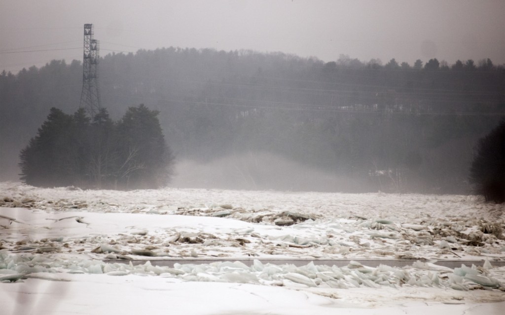
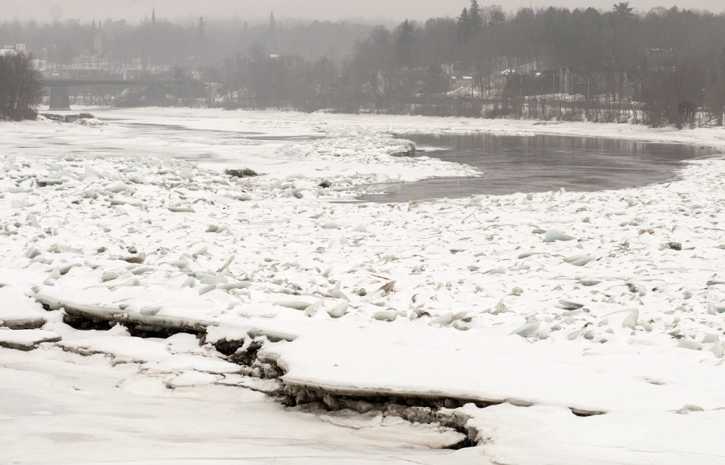
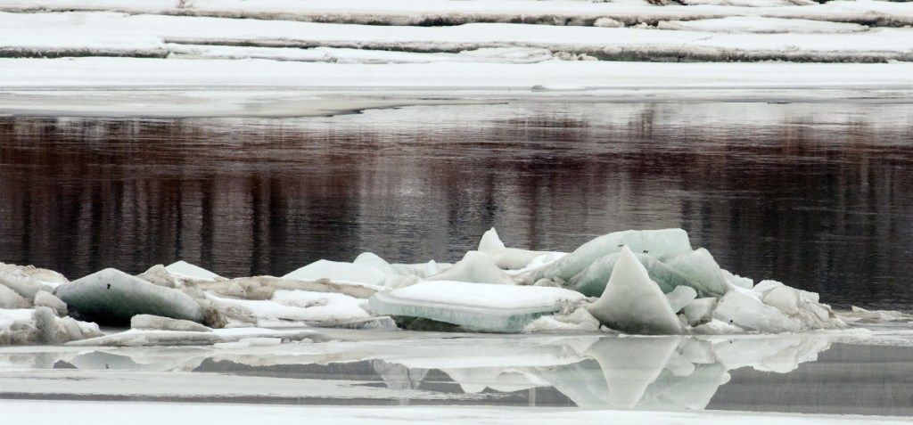
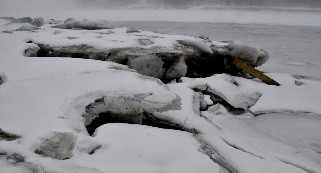
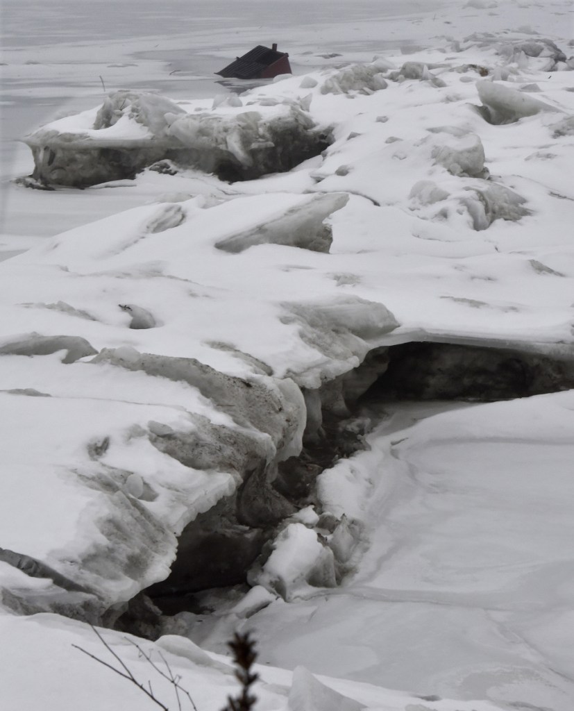
Unseasonable temperatures expected to warm up central Maine on Wednesday have the potential to rapidly melt a big ice jam on the Kennebec River between Farmingdale and Randolph, raising the possibility that more flooding could occur following last month’s destructive and sudden uprising.
Local and county officials said Tuesday they aren’t alarmed, but they are watching closely.
“If we get a big influx of water, the river could rise and we don’t want to see the river rise a lot,” said Sean Goodwin, director of Kennebec County Emergency Management. “If the river rises a lot it will break up the ice, which we don’t want because there is no place for the ice to go.
“Our concern is if (the ice jam) did move, it’d move to Gardiner and monkey things up there. But Lord knows what the ice jam is going to do.”
Goodwin said the hope is the ice jam will melt gradually in place, rather than break up, travel downstream, then jam up again and block the flow of the river, potentially causing it to flood.
Gardiner Fire Chief Al Nelson said he’s monitoring river conditions there, and staying in touch with Goodwin, and is aware the warm temperature is likely to prompt some snow to melt and also have the potential to prompt movement of the ice jam just upriver of Gardiner’s downtown, some of which is located within the floodplain. He said they’re currently in “wait and see” mode and keeping a close eye on the river.
If there are any indications the ice jam could move or Gardiner could flood, Nelson said he’d look to warn residents, and motorists, not to park in the city’s low-lying areas, such as the Arcade parking lot which abuts Cobbossee Stream near where it flows into the Kennebec River.
“The advantage we have in Gardiner is the (ice) dam is in Farmindale, the downside is it might end up in Gardiner,” Nelson said Tuesday. “With the dam being north of us, if we start to see a significant backup above us, and things are melting off below the dam as well, we need to be aware the dam may move. Unless there is significant rainfall, I think we’re in decent shape.”
Nelson warned, however, that if the ice damming up the river just north of Gardiner gives way and goes downriver, only to jam up again, it could bring flooding in a matter of minutes, not hours.
But National Weather Service Meteorologist Eric Sinsabaugh said it’s possible earlier forecasts suggesting temperatures could get into the upper 60s in central Maine are overstating the highs.
Sinsabaugh said a warm front draped across southern New Hampshire seemed to be hung up in Maine, preventing temperatures from going as high as they were once expected to on Wednesday. He said southern New Hampshire on Tuesday was seeing sunny skies and temperatures in the mid-60s, but temperatures in Maine remained in the 30s and 40s, lower due to the warm front not moving.
He said the forecast for Augusta had been revised down, with highs now expected somewhere in the upper 50s.
“It all depends on how far that front pushes north overnight, if we can break out and see some sun in the Augusta area, you’re probably looking at highs in the low to mid-60s, instead of the 50s,” he said.
He said the forecast, for the next 48 hours, includes only a minimal amount of rain, so he didn’t anticipate flooding caused by rainfall. He said there could be enough runoff from snow melt, however, to cause some shifting in ice, potentially enough to get ice jams moving.
Nick Stasulis, of the U.S. Geological Survey’s New England Water Science Center, said the potential is there for ice, and ice jams, to move on rivers, the Kennebec included.
But he said early indications, garnered from observing water levels upstream, and in smaller streams and rivers, suggest not much melting has yet taken place.
Goodwin said water level gauges on the river on Tuesday indicated “the river is behaving nicely.”
He said flows were returning to normal levels, and he and others believe the ice jam across the Kennebec has been eroding, unseen underwater, in place.
“We believe there is a lot of erosion going on under the ice jam — that’s a good thing,” Goodwin said. “We’re hoping it will melt in place. We’ve been watching it steadily. The ice jam is a concern to us.”
Goodwin said the ideal conditions for the ice jam to go away without causing additional flooding are warm days and cool nights, so it melts gradually.
Stasulis said the expected arrival of colder, more seasonable weather later this week, with temperatures expected to be in the 30s, should help stop the snow melt promptly, before it causes flooding due to runoff from the melting snow.
Betty Bailey, of Percy Bailey Auto Sales, which sits alongside the Kennebec River in Gardiner, said they watch the river pretty closely. Both the current location on Maine Avenue, and its longtime former location on Water Street also in Gardiner were affected during the flood of 1987.
She said they have a plan in place in case flooding happens again, which involves moving the small car dealership’s cars to other parking lots, including the parking lots of their church, First Baptist Church of Gardiner, up a hill and far out of reach of floodwaters, on Church Street.
Goodwin said he expects U.S. Coast Guard ice-breakers to make another attempt at clearing river ice in the spring, after failing to have much luck breaking up ice downriver of Richmond last month, to try to free up space for ice from the ice jam to go should it start moving.
Nelson said if people see the ice jam moving, they should notify county or local authorities, so they can alert others the ice may be on the move and there could be increased potential for flooding.
“We’re watching, but the potential is something may happen you don’t even see coming,” Nelson said. “People have to be aware. We just hope if there are changes, they happen slowly.”
Keith Edwards — 621-5647
Send questions/comments to the editors.


